26 photos in 26 spots
- Show
- all photos
- only best photo/spot
- Order by
- Popularity
- Newest
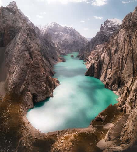
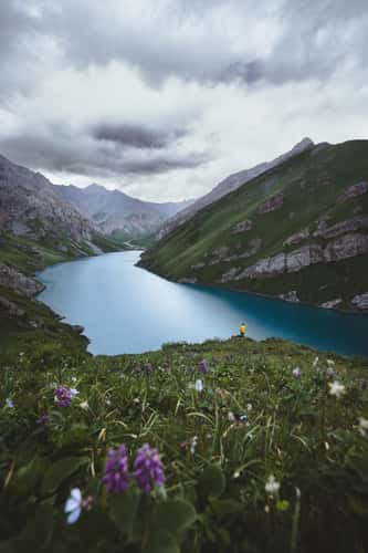
Kol-Suu Lake
7.29 km to location
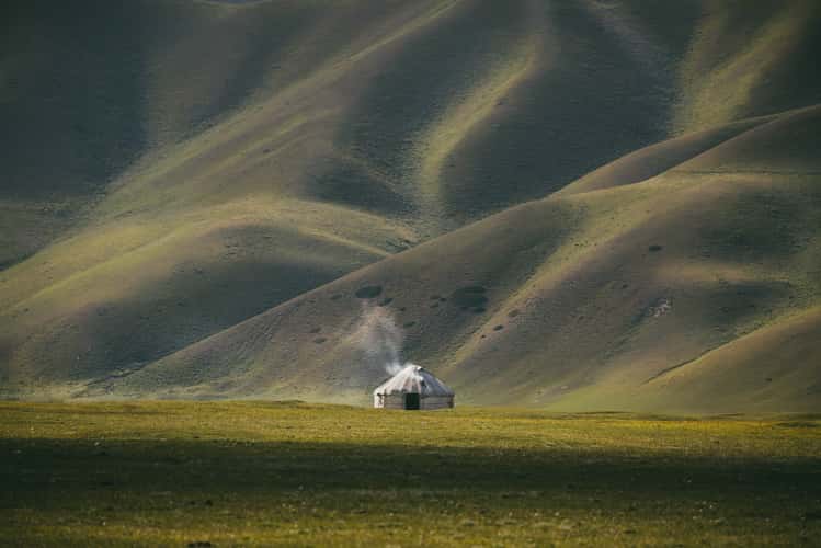
Nomad yurt, At Bashi Valley
54.12 km to location
Kel-Suu area, South Thian Shan
3.66 km to location
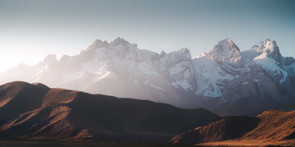
South Tian Shan Mountain Range, Rajons At-Batschy
1.85 km to location
Farms near Lake Song-Kul
162.39 km to location
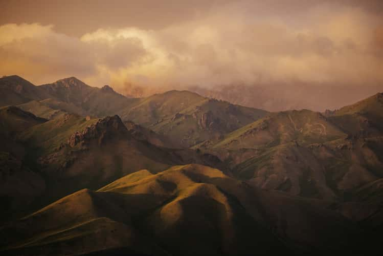
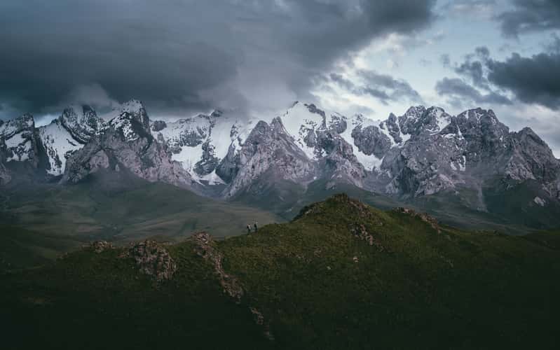
Tian Shan Mountain Range, Rajons At-Baschy
3.43 km to location
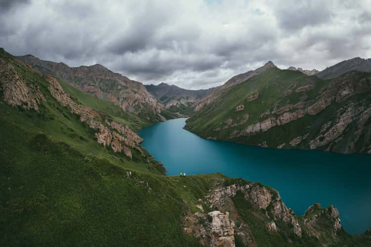
Kol Tor Lake (At Bashi Region)
68.35 km to location
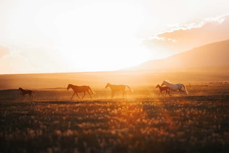
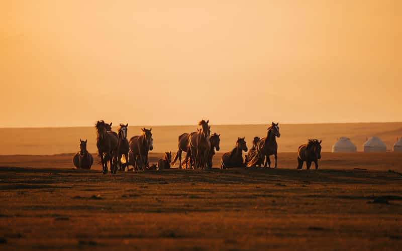
Horse farms near Lake Song-Kul
150.74 km to location
South Tian Shan Mountain Range, Rajons At-Baschy
3.33 km to location
South Tian Shan Mountain Range, Rajons At-Baschy
4.4 km to location
Kol Tor Lake (At Bashi Region)
68.93 km to location
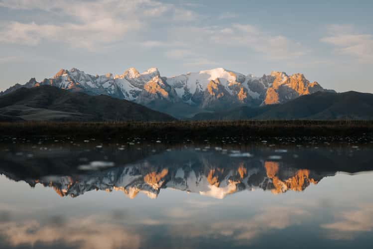
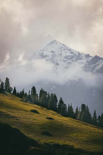
Tian Shan Mountain View
0.15 km to location

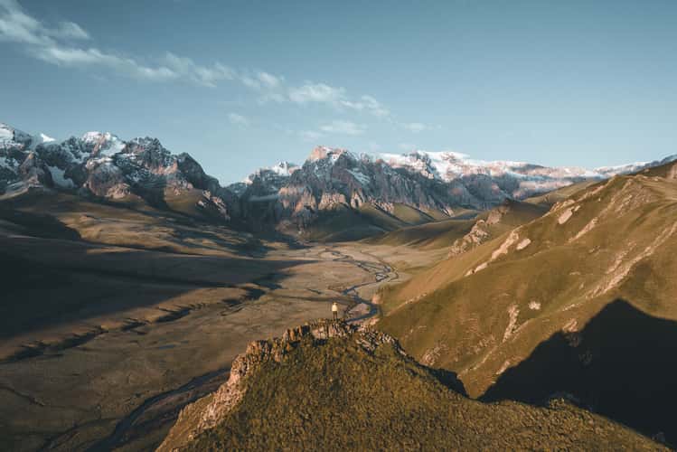
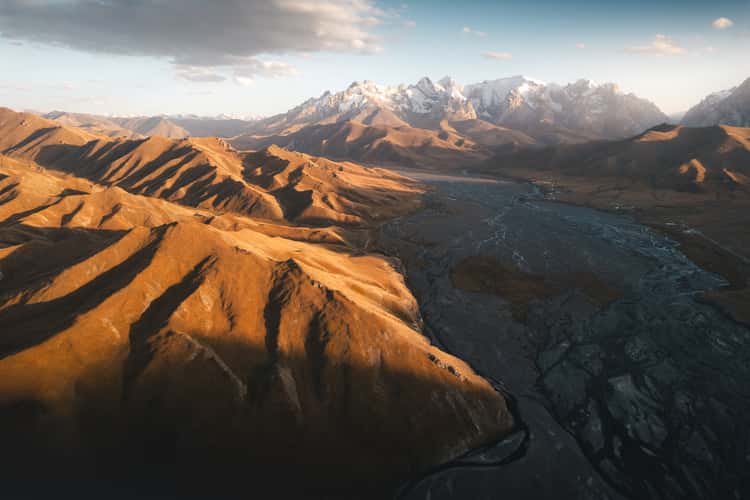
River veins, Rajons At-Baschy
1.75 km to location
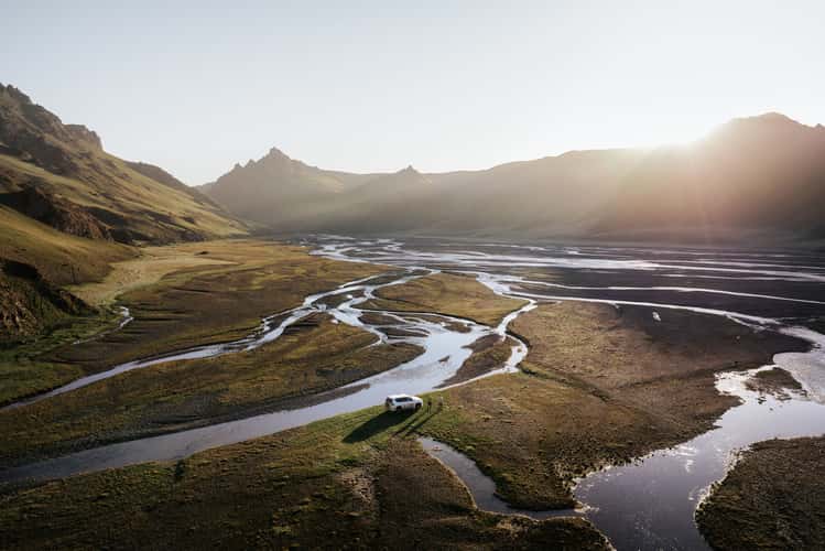
River veins, Rajons At-Baschy
1.95 km to location
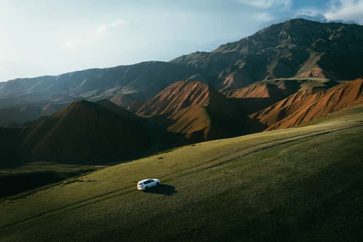
Red hills near Naryn
79.47 km to location
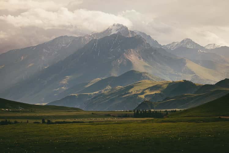
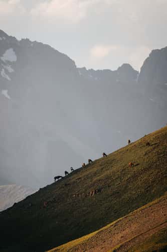
Mountain range, At Bashi Valley
59.59 km to location
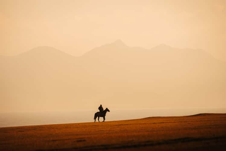
Nomad life at Lake Song-Kul
149.49 km to location
Mountain range, At Bashi Valley
63.15 km to location
Kalmak-Ashuu-Pass-Mid Point, Naryn Region
150.95 km to location
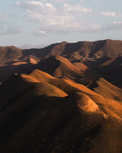
Red Hills
76.51 km to location
33 Parrots Pass
134.09 km to location

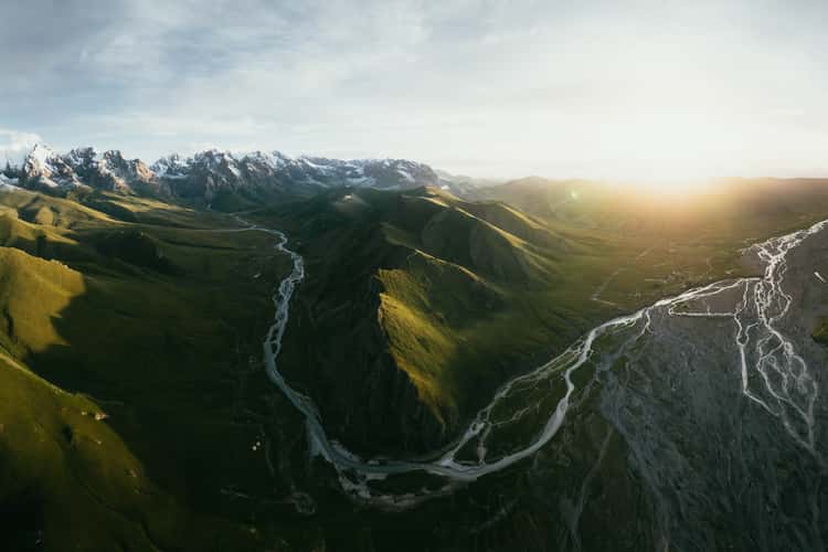
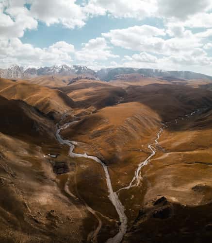
Naryn River Joining from Observation Point, Naryn Region
80.71 km to location

Vast steppes, Lake Song-Kul
152.4 km to location
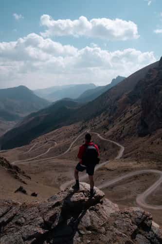
Southward View Down The River
0 km to location
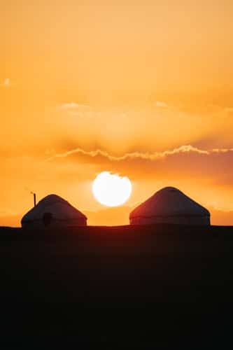
Yurts at Lake Song-Kul
153.91 km to location
Valley On The Road To Kol-Suu
7.64 km to location