274 photos in 140 spots
- Show
- all photos
- only best photo/spot
- Order by
- Popularity
- Newest
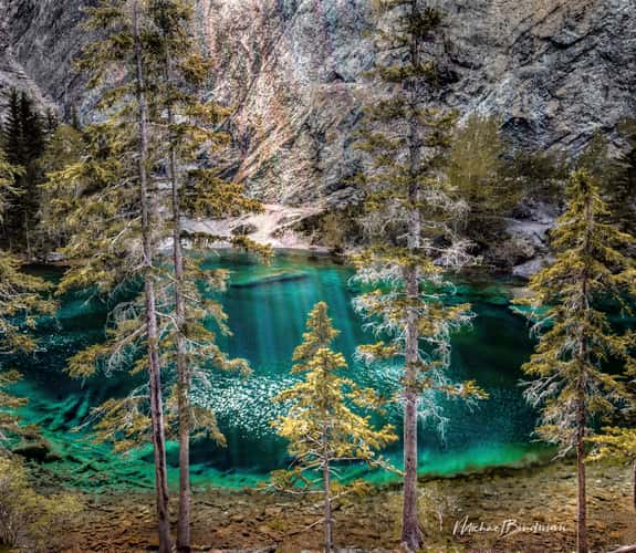
Grassi Lakes, View over Canmore
583.23 km to location
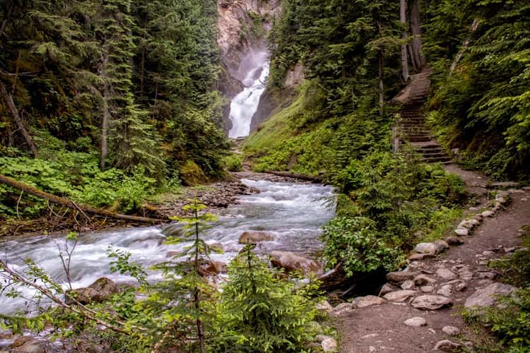
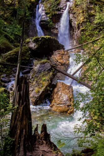
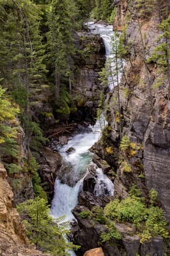
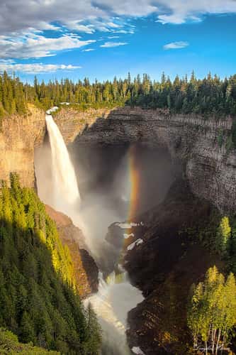
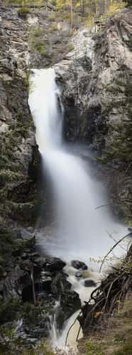
Bear Creek Falls
463.86 km to location
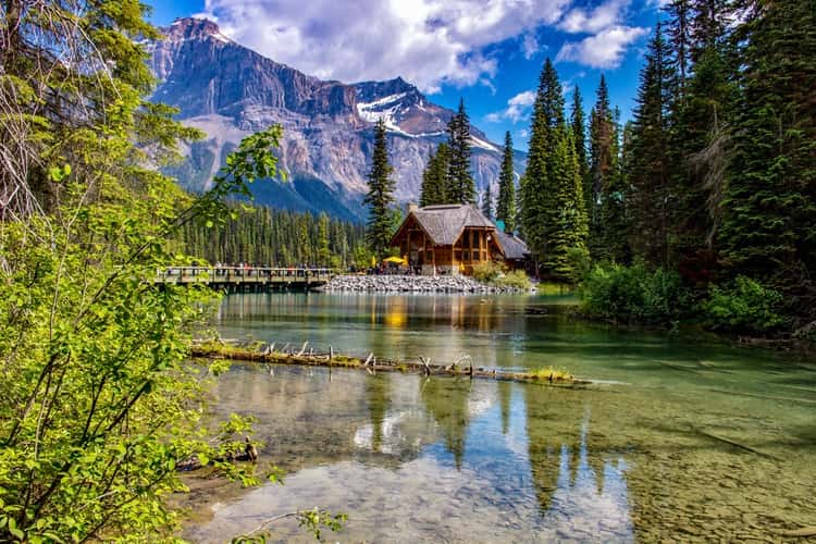
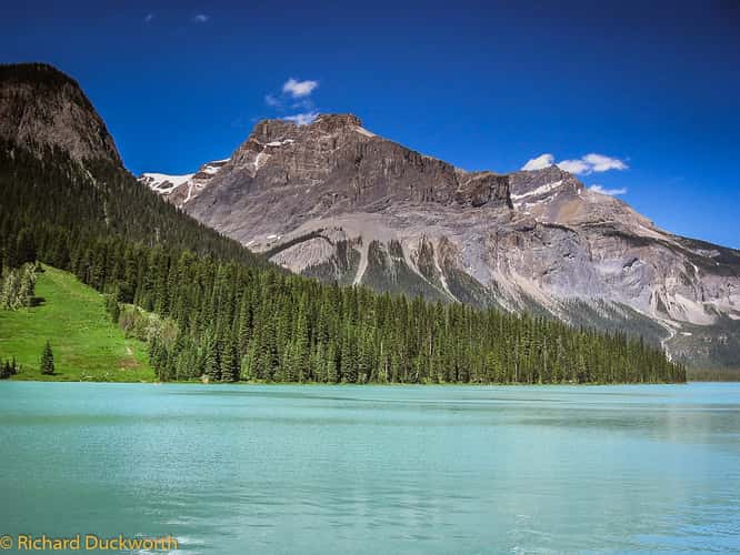
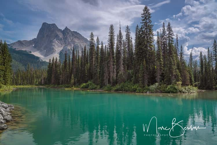
Emerald Lake
523.84 km to location
Emerald Lake
523.84 km to location
Emerald Lake
523.84 km to location
Begbie Falls
396 km to location
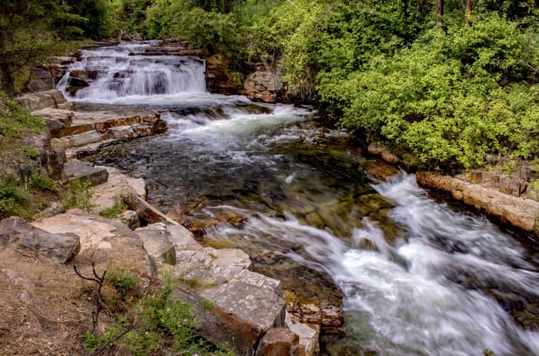
Marysville Waterfall Trail
518.54 km to location
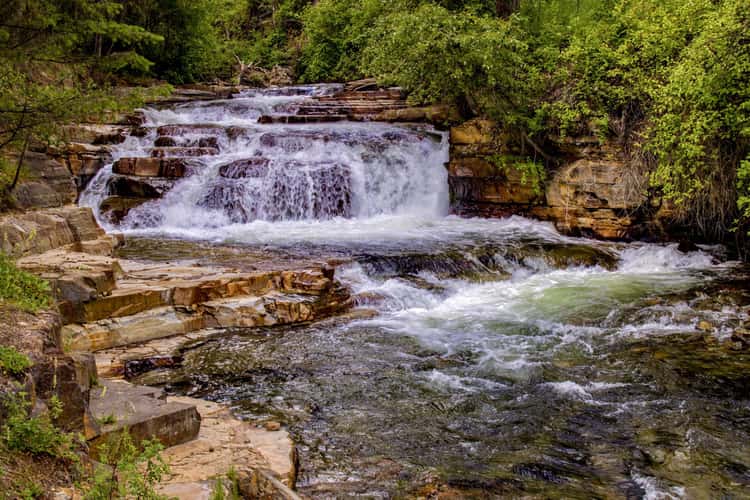
Marysville Waterfall Trail
518.54 km to location
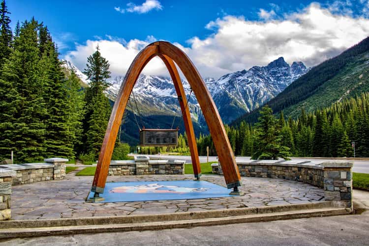
Trans-Canada Highway Memorial
455.72 km to location
Trans-Canada Highway Memorial
455.72 km to location
Meachen Creek Falls
495 km to location
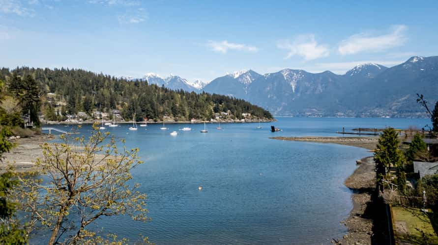
Deep Bay, Bowen Island, BC
18.26 km to location
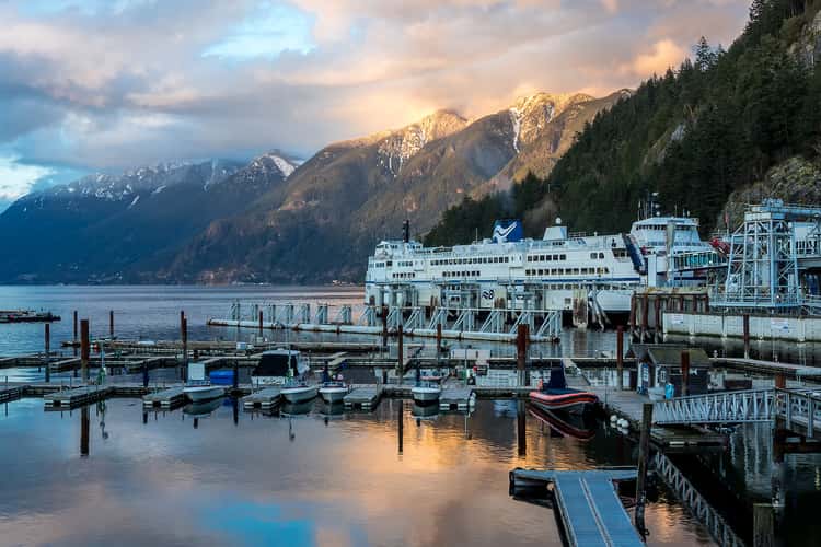
Horseshoe Bay, West Vancouver
14.34 km to location

Terrace Mtn from the Rise
290.07 km to location
Helmcken falls
361.47 km to location
Emerald Lake, British Columbia
525.06 km to location
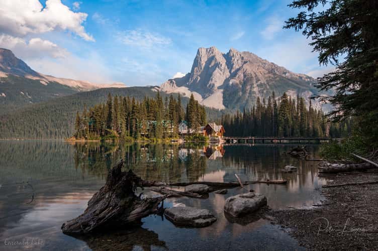
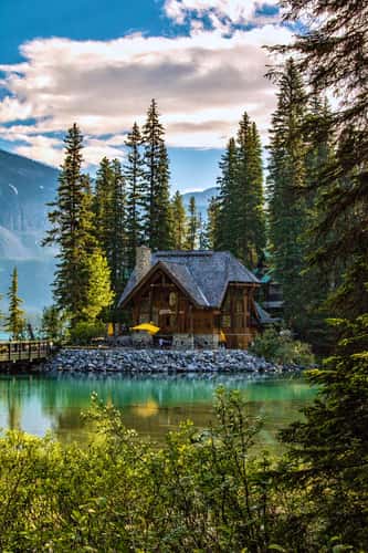
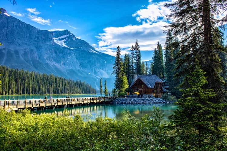
Emerald lake with lodge
523.84 km to location
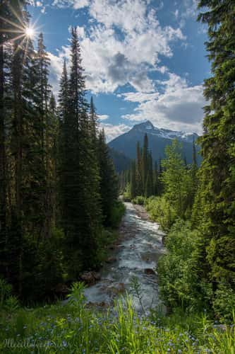
Illecillewaet river with Mt Cheops
455.86 km to location
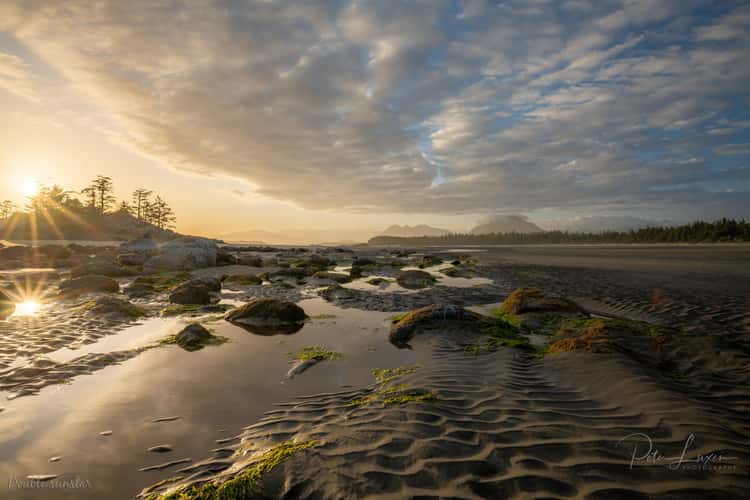
Chesterman Beach
202.27 km to location
Fintry Falls
276.39 km to location

Crescent beach
31.19 km to location
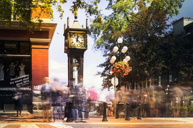
Gastown Steam Clock
1.3 km to location
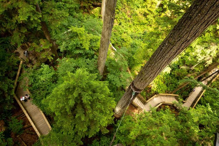
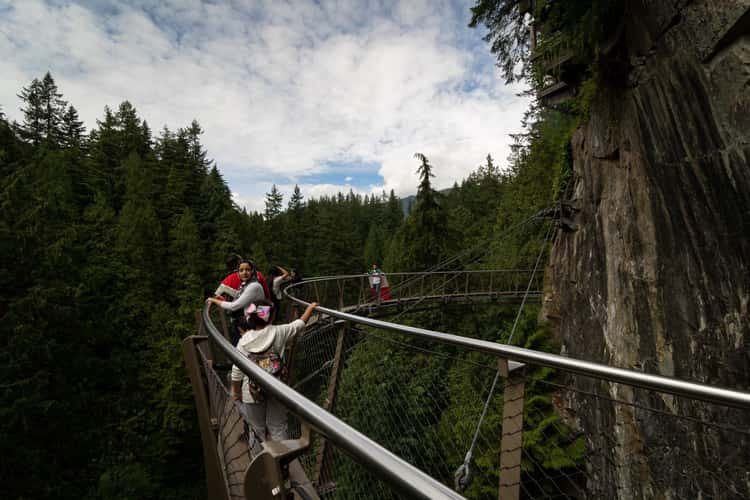
The Capilano Suspension Bridge
5.79 km to location
The Capilano Suspension Bridge
5.79 km to location
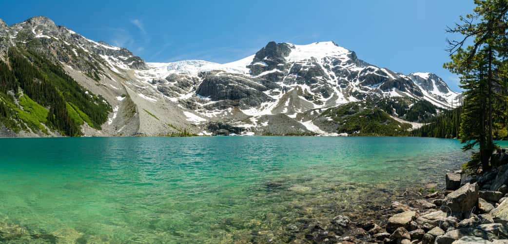
Upper Joffre Lake
126.21 km to location
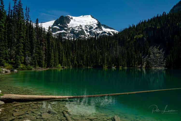
Middle Joffre Lakes
126.57 km to location
Emerald Lake
523.9 km to location
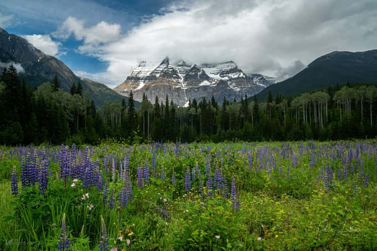
Mount Robson view from visitors centre
496.65 km to location
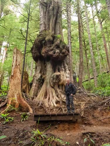
Canada's Gnarliest Tree
121.66 km to location
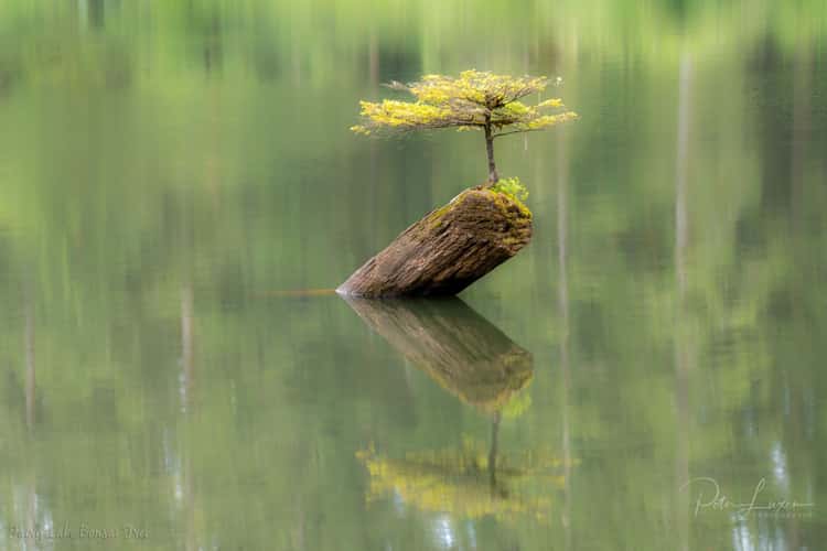
Fairy Lake Bonsai Tree
118.7 km to location